Peak Naiguata
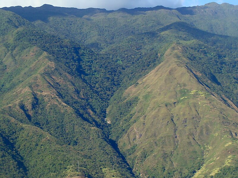
Pico Naiguatá is the summit of a mountain in South America near Caracas, Venezuela, part of the Venezuelan Coastal Range, of which it is… Read more…


Add Peak Naiguata to Your Trip
Create a detailed travel itinerary with smart routing, time estimates, and everything you need for a perfect trip.


Pico Naiguatá is the summit of a mountain in South America near Caracas, Venezuela, part of the Venezuelan Coastal Range, of which it is the highest peak. It is situated on the border of the Venezuelan states Miranda and Vargas. With a summit elevation of 2,765 metres and a topographic isolation of 2,455 metres above sea level, it is the highest point in both of these states and the fourth highest of the Caribbean after Pico Simón Bolivar and Pico Cristóbal Colón of the Sierra Nevada de Santa Marta range in Colombia and Pico Duarte in the Dominican Republic.
Source: Wikipedia
More Information and Contact
Add Peak Naiguata to Your Trip
Create a detailed travel itinerary with smart routing, time estimates, and everything you need for a perfect trip.