Point Roberts is a pene-exclave of Washington on the southernmost tip of the Tsawwassen peninsula, south of Vancouver, Canada. The area, which had a population of 1,191 at the 2020 census, is reached by land from the rest of the United States by traveling 25 mi through Canada. It is a census-designated place in Whatcom County, Washington, with a post office, and a ZIP Code of 98281. Direct sea and air connections with the rest of the U.S. are available across Boundary Bay.
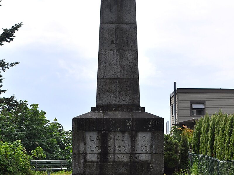
Point Roberts was created when the United Kingdom and the United States settled the Pacific Northwest American-Canadian border dispute in the mid-19th century with the Oregon Treaty. The two parties agreed that the 49th parallel would define the boundary between their respective territories, and the small area that incorporates Point Roberts is south of the 49th parallel.
Wikipedia https://en.wikipedia.org/wiki/Point_Roberts,_Washington
Coordinates 48°59'4.93" N -123°4'4.093" E