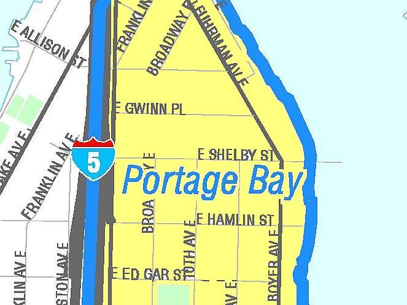
Portage Bay is a body of water, often thought of as the eastern arm of Lake Union, that forms a part of the Lake Washington Ship Canal in Seattle, Washington.
To the east, Portage Bay is connected with Union Bay—a part of Lake Washington—by the Montlake Cut, over which spans the Montlake Bridge carrying State Route 513. To the north is the campus of the University of Washington. To the west, Portage Bay is spanned by the University Bridge, which carries Eastlake Avenue between Eastlake and the University District. Its westernmost limit can be said to be the Ship Canal Bridge, which carries Interstate 5 over the water; past this bridge, the body of water is deemed to be Lake Union. In the southern portion, Portage Bay is spanned by the Portage Bay Viaduct, which carries State Route 520 from the Eastlake/Capitol Hill district to Montlake.
Wikipedia https://en.wikipedia.org/wiki/Portage_Bay
Address Seattle 98105, United States
Coordinates 47°38'51.561" N -122°18'51.977" E
