Queen Elizabeth Way
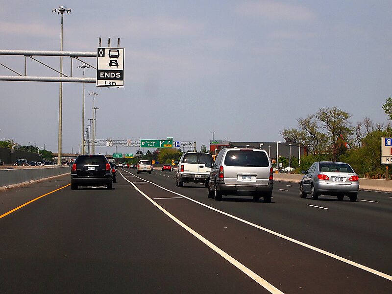
The Queen Elizabeth Way is a 400-series highway in the Canadian province of Ontario linking Toronto with the Niagara Peninsula and Buffalo,… Read more…


Add Queen Elizabeth Way to Your Trip
Create a detailed travel itinerary with smart routing, time estimates, and everything you need for a perfect trip.


The Queen Elizabeth Way is a 400-series highway in the Canadian province of Ontario linking Toronto with the Niagara Peninsula and Buffalo, New York. The freeway begins at the Peace Bridge in Fort Erie and travels 139.1 kilometres around the western end of Lake Ontario, ending at Highway 427 in Toronto. The physical highway, however, continues as the Gardiner Expressway into downtown Toronto.
Source: Wikipedia
More Information and Contact
Add Queen Elizabeth Way to Your Trip
Create a detailed travel itinerary with smart routing, time estimates, and everything you need for a perfect trip.