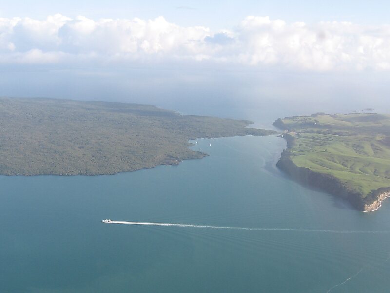
Rangitoto Island is a volcanic island in the Hauraki Gulf near Auckland, New Zealand. The 5.5 km wide island is a symmetrical shield volcano cone capped by central scoria cones, reaching a height of 260 m. Rangitoto is the youngest and largest of the approximately 50 volcanoes of the Auckland volcanic field, having erupted in two phases about 620 and 600 years ago and covering an area of 2,311 ha. It is separated from the mainland of Auckland's North Shore by the Rangitoto Channel. Since World War II, it has been linked by a causeway to the much older, non-volcanic Motutapu Island.Rangitoto is Māori for 'Bloody Sky', with the name coming from the full phrase Ngā Rangi-i-totongia-a Tama-te-kapua. Tama-te-kapua was the captain of the Arawa waka and was badly wounded on the island, after having lost a battle with the Tainui iwi at Islington Bay.
Download Download See moreWikipedia https://en.wikipedia.org/wiki/Rangitoto_Island
Coordinates -36°47'10.216" N 174°51'47.208" E