Reno-Tahoe International Airport
Reno–Tahoe International Airport is a public and military airport three miles southeast of downtown Reno, in Washoe County, Nevada, United… Read more…


Add Reno-Tahoe International Airport to Your Trip
Create a detailed travel itinerary with smart routing, time estimates, and everything you need for a perfect trip.


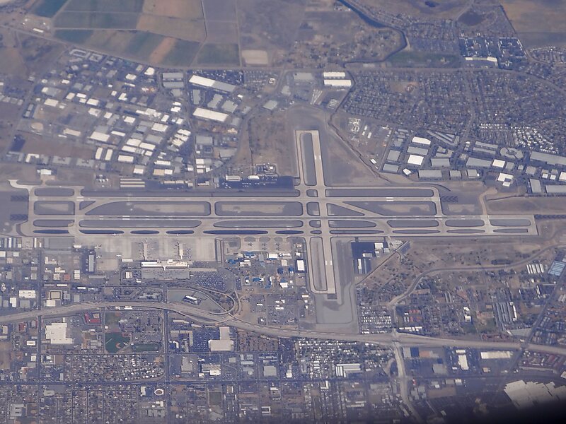
Reno–Tahoe International Airport is a public and military airport three miles southeast of downtown Reno, in Washoe County, Nevada, United States. It is the state's second busiest commercial airport after Harry Reid International Airport in Las Vegas. The Nevada Air National Guard has the 152nd Airlift Wing southwest of the airport's main terminal. The airport is named after both the City of Reno, Nevada and Lake Tahoe. The airspace of Reno-Tahoe Airport is controlled by the Northern California TRACON and Oakland Air Route Traffic Control Center.
Source: Wikipedia
More Information and Contact
Tours & Activities
Add Reno-Tahoe International Airport to Your Trip
Create a detailed travel itinerary with smart routing, time estimates, and everything you need for a perfect trip.