Rheinwaldhorn
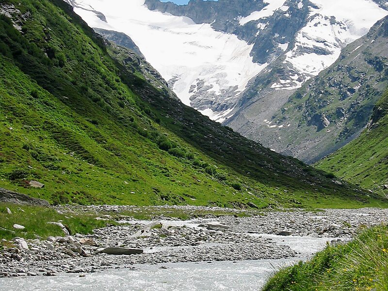
The Rheinwaldhorn is the highest point in the Swiss canton of Ticino at 3,402 metres above sea level.
peak
Valser / Public domain

Riverside Hotel

Rheinwaldhorn
2h

Corner Café
45 min
Riverside Hotel
Add Rheinwaldhorn to Your Trip
Create a detailed travel itinerary with smart routing, time estimates, and everything you need for a perfect trip.
3M+ downloads · 4.6 stars · 15 years of trip planning


More Information and Contact
Wikipedia en.wikipedia.org/wiki/Rheinwaldhorn
Address 7438, Switzerland
Coordinates 46°29'37.135" N, 9°2'24.678" E
Riverside Hotel
Rheinwaldhorn
2h
Corner Café
45 min
Riverside Hotel
Add Rheinwaldhorn to Your Trip
Create a detailed travel itinerary with smart routing, time estimates, and everything you need for a perfect trip.
3M+ downloads · 4.6 stars · 15 years of trip planning