Sarıyer is a district of Istanbul, Turkey, on the northeastern part of the city's European side. It consists of the neighbourhoods of Rumelifeneri, Tarabya, Yeniköy, İstinye, Emirgan and Rumelihisarı. Sarıyer also administers the Black Sea coast to the west of the mouth of the Bosphorus, including the neighbourhood of Kilyos. It borders Eyüp to the northwest, Beşiktaş to the south and Kağıthane to the west. Sarıyer has a population of approximately 350,000. The mayor is Şükrü Genç of the Republican People's Party. In 1930, some parts of the region of Beyoğlu and Çatalca were incorporated into Sarıyer, which also became the district centre. The district's boundaries shrunk after the neighbourhood of Kemerburgaz was given to the Eyüp district in 1936 and when the villages of Maslak and Ayazağa were given to Şişli district in 1954. The present boundaries of Sarıyer were created after incorporating the neighbourhoods of Maslak, Ayazağa and Huzur from the district of Şişli in 2012.
Download Download See more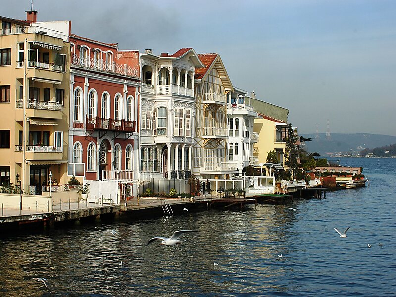
Wikipedia https://en.wikipedia.org/wiki/Sarıyer
Coordinates 41°10'6.889" N 29°3'26.144" E
