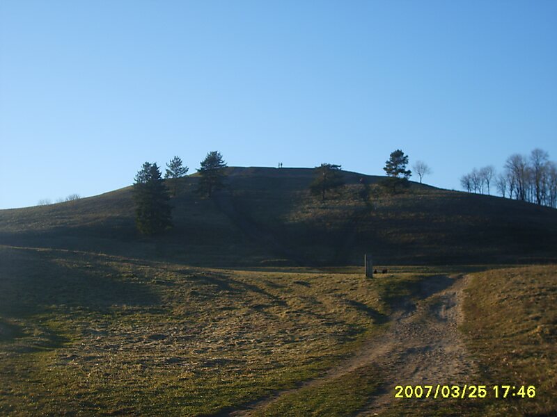
Šatrija is a hill and a hillfort in the Samogitia region of Lithuania, near the Pašatrija village, Luokė seniūnija, Telšiai District Municipality. It is part of the Šatrija Landscape Reserve.
The hill is 228 metres in height and was formed during the last glacial period.
Wikipedia https://en.wikipedia.org/wiki/Šatrija
Official Website http://piliakalniai.lt/piliakalnis.php?piliakalnis_id=623
Address 88033, Lithuania
Coordinates 55°52'21.505" N 22°33'29.221" E