Schadenbeeksköpfe
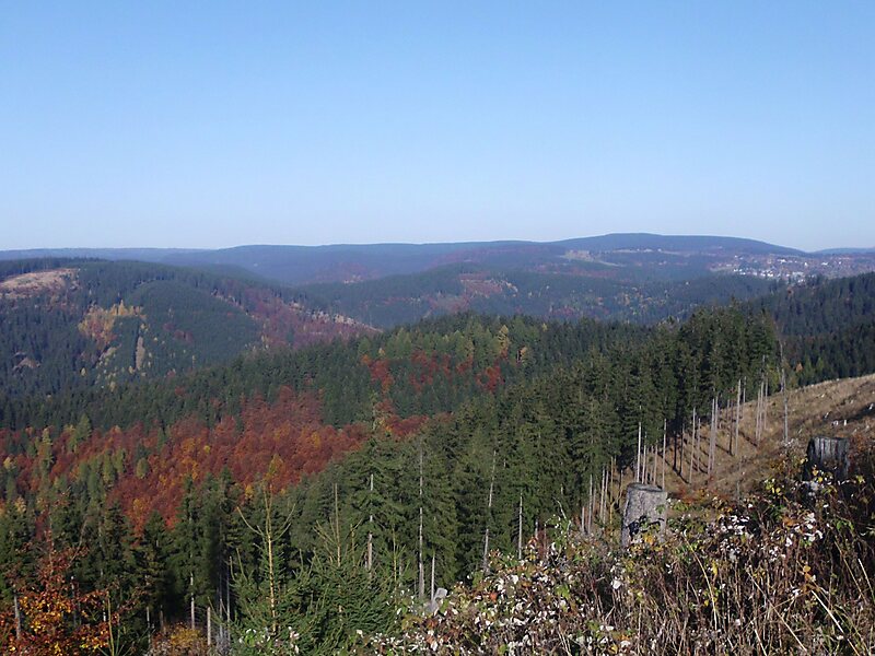
The Schadenbeeksköpfe are two summits on a southeastern outlier of the Aschentalshalbe in the Harz Mountains of Germany, about 3.6… Read more…


Add Schadenbeeksköpfe to Your Trip
Create a detailed travel itinerary with smart routing, time estimates, and everything you need for a perfect trip.


The Schadenbeeksköpfe are two summits on a southeastern outlier of the Aschentalshalbe in the Harz Mountains of Germany, about 3.6 kilometres southeast of Sieber in the district of Göttingen in Lower Saxony. Their highest peak is 605 metres above sea level. In addition they separate the Schadenbeek stream, after which they were named, from the upper Krumme Lutter. About 1 kilometre east of the Schadenbeeksköpfe lies the Wolkenhügel Pit, in the valley of the Krumme Lutter, which closed in June 2007. A refuge hut not far from the Schadenbeeksköpfe is a checkpoint in the Harzer Wandernadel hiking badge system.
Source: Wikipedia
More Information and Contact
Add Schadenbeeksköpfe to Your Trip
Create a detailed travel itinerary with smart routing, time estimates, and everything you need for a perfect trip.