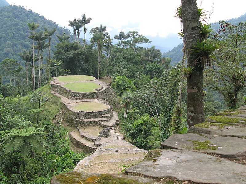
The Sierra Nevada de Santa Marta is an isolated mountain range separated from the Andes chain that runs through Colombia. Reaching an altitude of 5,700 m just 42 km from the Caribbean coast, the Sierra Nevada is one of the world's highest coastal ranges, being 250m shorter than the Saint Elias Mountains in Canada. The Sierra Nevada encompasses about 17,000 km2 and serves as the source of 36 rivers. The range is in the Departments of Magdalena, Cesar and La Guajira.
The highest point of the Sierra Nevada group may be either Pico Cristóbal Colón or Pico Simón Bolívar both in the municipalities of Santa Marta and Aracataca; it has yet to be determined which is higher. SRTM data and local topographic maps show that their true elevations are approximately 5,700 m, lower than the 5,775 m elevation that is often quoted.
Wikipedia https://en.wikipedia.org/wiki/Sierra_Nevada_de_Santa_Marta
Coordinates 10°50'6" N -73°40'30" E