The Somerset Levels are a coastal plain and wetland area of Somerset, England, running south from the Mendips to the Blackdown Hills.
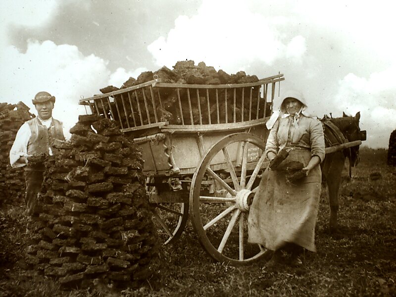
The Somerset Levels have an area of about 160,000 acres and are bisected by the Polden Hills; the areas to the south are drained by the River Parrett, and the areas to the North by the rivers Axe and Brue. The Mendip Hills separate the Somerset Levels from the North Somerset Levels. The Somerset Levels consist of marine clay "levels" along the coast and inland peat-based "moors"; agriculturally, about 70 per cent is used as grassland and the rest is arable. Willow and teazel are grown commercially and peat is extracted.
A Palaeolithic flint tool found in West Sedgemoor is the earliest indication of human presence in the area.
Wikipedia https://en.wikipedia.org/wiki/Somerset_Levels
Coordinates 51°12'12.725" N -2°53'1.256" E
