Spitsbergen

Local nameSpitsbergen
LocationNorway

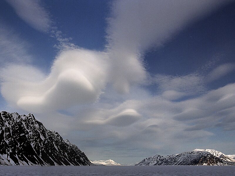
Spitsbergen is the largest and the only permanently populated island of the Svalbard archipelago in northern Norway.

Constituting the westernmost bulk of the archipelago, it borders the Arctic Ocean, the Norwegian Sea and the Greenland Sea. Spitsbergen covers an area of 37,673 km2, making it the largest island in Norway and the 36th largest in the world. The administrative centre is Longyearbyen. Other settlements, in addition to research outposts, are the Russian mining community of Barentsburg, the research community of Ny-Ålesund, and the mining outpost of Sveagruva. Spitsbergen was covered in 21,977 km2 of ice in 1999, which was approximately 58.5% of the island's total area.

Tags Island
Download Download See more
Lilliehöökfjorden,… @ Jerzy Strzelecki
 
Longyearbyen: Northern Lights Hunt by Electric Snowmobile from 274 USD
Book ticket

More information and contact

Wikipedia https://en.wikipedia.org/wiki/Spitsbergen

Coordinates 78°36'48.949" N 15°50'41.994" E

Tours and activities: Spitsbergen

Longyearbyen: Northern Lights Hunt by Electric Snowmobile

Bestseller
Instant confirmation
from 274 USD

Longyearbyen: Historic Coal Mine Tour at Gruve 3

Bestseller
Instant confirmation
from 85 USD

Longyearbyen: Hybrid-Electric Catamaran Cruise to Pyramiden

Bestseller
Instant confirmation
from 274 USD

Tripomatic - A Travel Guide in Your Pocket

Download for free and plan your trips with ease
Or simply search for Tripomatic in the App Store or Google Play.
Tripomatic Maps The world's first map app tailored for travelers
Use the app Not now