St. Francis Dam
The St. Francis Dam, or the San Francisquito Dam, was a concrete gravity dam located in San Francisquito Canyon in northern Los Angeles… Read more…


Add St. Francis Dam to Your Trip
Create a detailed travel itinerary with smart routing, time estimates, and everything you need for a perfect trip.


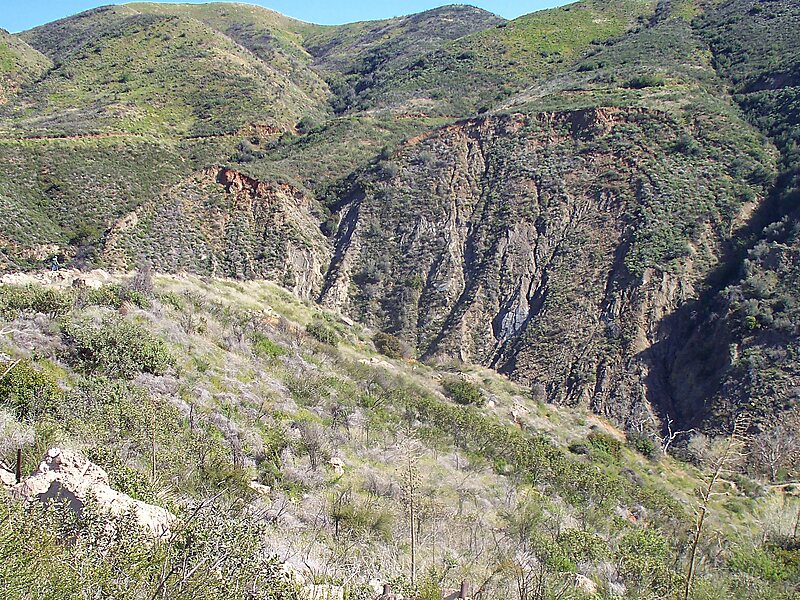
The St. Francis Dam, or the San Francisquito Dam, was a concrete gravity dam located in San Francisquito Canyon in northern Los Angeles County, California, United States, that was built between 1924 and 1926. The dam failed catastrophically in 1928, killing at least 431 people in the subsequent flood, in what is considered to have been one of the worst American civil engineering disasters of the 20th century and the third-greatest loss of life in California history.
The dam was built to serve the growing water needs of the city of Los Angeles, creating a large regulating and storage reservoir that was an integral part of the Los Angeles Aqueduct. It was located in San Francisquito Canyon of the Sierra Pelona Mountains, about 40 miles northwest of downtown Los Angeles, and approximately 10 miles north of the present day city of Santa Clarita.
Source: Wikipedia
More Information and Contact
Add St. Francis Dam to Your Trip
Create a detailed travel itinerary with smart routing, time estimates, and everything you need for a perfect trip.