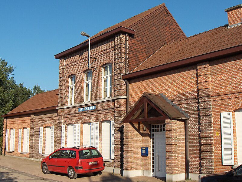
Stekene is a municipality located in the Belgian province of East Flanders. Since 1976, the municipality has comprised the towns of Kemzeke, Klein-Sinaai and Stekene proper. It also includes the villages of Hellestraat and Koewacht. On July 1, 2007, Stekene had a total population of 17,040. The total area is 44.80 km² which gives a population density of 376 inhabitants per km².
Stekene profiles itself as an oasis of green within industrialized Flanders as a large part of its area consists of forests and agricultural lands. The E34 road, from Antwerp to the coast, passes through the municipality and also has its own access to it. Another part of the community is the N403, which connects to Sint-Niklaas.
Wikipedia https://en.wikipedia.org/wiki/Stekene
Coordinates 51°12'22.415" N 4°2'22.893" E