Stewart Island is New Zealand's third-largest island, located 30 kilometres south of the South Island, across the Foveaux Strait. It is a roughly triangular island with a total land area of 1,746 km2. Its 164-kilometre coastline is deeply creased by Paterson Inlet, Port Pegasus, and Mason Bay. The island is generally hilly and densely forested. Flightless birds, including penguins, thrive because there are few introduced predators. Almost all the island is owned by the New Zealand government, and over 80 per cent of the island is set aside as the Rakiura National Park.
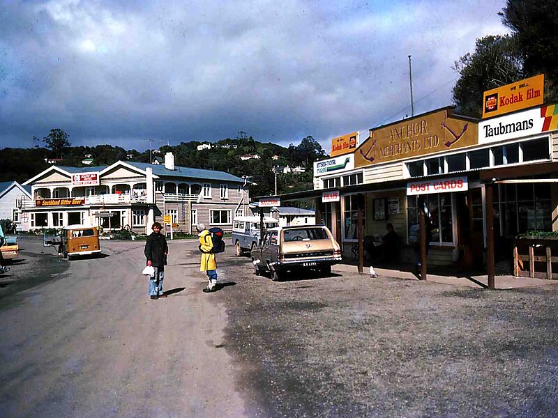
Stewart Island's economy depends on fishing and summer tourism. Its permanent population was recorded at 408 people in the 2018 census, most of whom live in the settlement of Oban on the eastern side of the island. Ferries connect the settlement to Bluff in the South Island. Stewart Island/Rakiura is part of the Southland District for local government purposes.
Wikipedia https://en.wikipedia.org/wiki/Stewart_Island
Coordinates -46°59'12.12" N 167°51'29.937" E