Strait of Dover
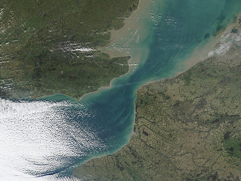
The Strait of Dover or Dover Strait, is the strait at the narrowest part of the English Channel, marking the boundary between the Channel… Read more…


Add Strait of Dover to Your Trip
Create a detailed travel itinerary with smart routing, time estimates, and everything you need for a perfect trip.


The Strait of Dover or Dover Strait, is the strait at the narrowest part of the English Channel, marking the boundary between the Channel and the North Sea, separating Great Britain from continental Europe. The shortest distance across the strait, at approximately 20 miles, is from the South Foreland, northeast of Dover in the English county of Kent, to Cap Gris Nez, a cape near to Calais in the French département of Pas-de-Calais. Between these points lies the most popular route for cross-channel swimmers.
Source: Wikipedia
More Information and Contact
Add Strait of Dover to Your Trip
Create a detailed travel itinerary with smart routing, time estimates, and everything you need for a perfect trip.