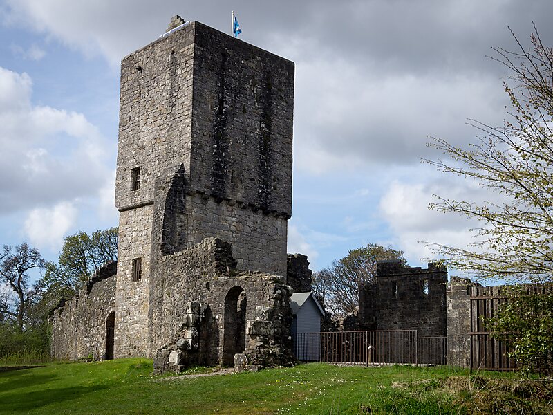
Strathblane is a village and parish in the registration county of Stirlingshire, situated in the southwestern part of the Stirling council area, in central Scotland. It lies at the foothills of the Campsie Fells and the Kilpatrick Hills on the Blane Water, 12 miles north of Glasgow, 14 miles east-southeast of Dumbarton, and 20 miles southwest of Stirling. Strathblane is a dormitory village for Greater Glasgow, and has a total resident population of 1,811.Historically, Strathblane was the name of a parish in Stirlingshire which comprised three villages: Edenkill, Netherton and Mugdock. Mugdock was the ancient seat of the Earls of Lennox, and to the east of Strathblane lies the town of Lennoxtown. Blanefield is a settlement contiguous with Strathblane's northwestern fringe. To the west is the volcanic plug Dumgoyne, Glengoyne Distillery and the Trossachs National Park. The West Highland Way—a long-distance trail—passes close to the village.
Download Download See moreWikipedia https://en.wikipedia.org/wiki/Strathblane
Coordinates 55°59'8.046" N -4°18'22.558" E