Tagaytay-Nasugbu Road
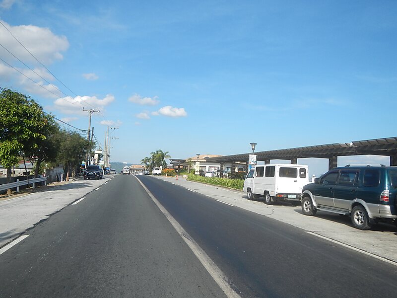
The Tagaytay–Nasugbu Highway, alternatively known as Tagaytay–Nasugbu Road and formerly as Tagaytay–Tuy–Nasugbu Port Road, is a 43.86… Read more…


Add Tagaytay-Nasugbu Road to Your Trip
Create a detailed travel itinerary with smart routing, time estimates, and everything you need for a perfect trip.


The Tagaytay–Nasugbu Highway, alternatively known as Tagaytay–Nasugbu Road and formerly as Tagaytay–Tuy–Nasugbu Port Road, is a 43.86-kilometer, two-to-four lane, secondary highway in the provinces of Cavite and Batangas, Philippines, that connects the city of Tagaytay in Cavite and the municipality of Nasugbu in Batangas.The entire road forms part of National Route 410 from Tagaytay to Calaca and National Route 407 of the Philippine highway network from Calaca to Nasugbu.
Source: Wikipedia
More Information and Contact
Add Tagaytay-Nasugbu Road to Your Trip
Create a detailed travel itinerary with smart routing, time estimates, and everything you need for a perfect trip.