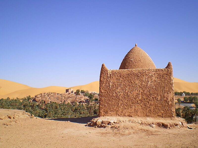
Taghit is a town and commune in Taghit District, Béchar Province, in western Algeria. The town is an oasis watered by the underground Oued Zousfana, which runs along beside the dunes of the Grand Erg Occidental. According to the 2008 census its population is 6,317, up from 6,047 in 1998, with an annual growth rate of 0.4%. The commune covers an area of 8,080 square kilometres.
Download Download See moreWikipedia https://en.wikipedia.org/wiki/Taghit
Coordinates 30°55'1.42" N -2°1'46.112" E