Tejon Pass
The Tejon Pass , previously known as Portezuelo de Cortes, Portezuela de Castac, and Fort Tejon Pass and also commonly referred to as “The… Read more…


Add Tejon Pass to Your Trip
Create a detailed travel itinerary with smart routing, time estimates, and everything you need for a perfect trip.


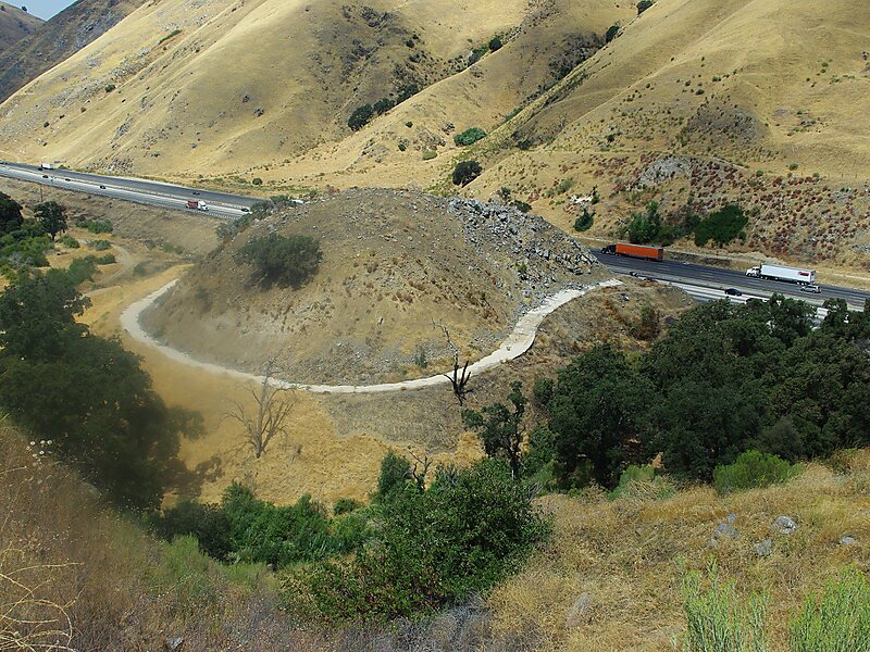
The Tejon Pass , previously known as Portezuelo de Cortes, Portezuela de Castac, and Fort Tejon Pass and also commonly referred to as “The Grapevine, is a mountain pass between the southwest end of the Tehachapi Mountains and northeastern San Emigdio Mountains, linking Southern California north to the Central Valley. It has been traversed by major roads such as the El Camino Viejo, the Stockton – Los Angeles Road, the Ridge Route, U.S. Route 99, and now Interstate 5.
Source: Wikipedia
More Information and Contact
Add Tejon Pass to Your Trip
Create a detailed travel itinerary with smart routing, time estimates, and everything you need for a perfect trip.