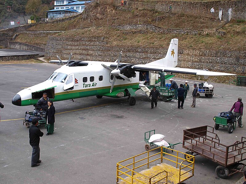
Tenzing-Hillary Airport, also known as Lukla Airport, is a domestic airport and altiport in the town of Lukla, in Khumbu Pasanglhamu, Solukhumbu District, Koshi Province of Nepal. The airport has gained worldwide fame, both for its unusual location, but also because it was rated the most dangerous airport in the world for more than 20 years by a program titled Most Extreme Airports, broadcast on The History Channel in 2010.
The airport is popular because it is considered the starting point for treks towards Mount Everest Base Camp. There are daily flights between Ramechhap or Kathmandu and Lukla during daylight hours in good weather. Although the flying distances are short, rain often occurs in Lukla while the sun is shining in Ramechhap or Kathmandu.
Wikipedia https://en.wikipedia.org/wiki/Tenzing–Hillary_Airport
Address Nepal
Coordinates 27°41'12.998" N 86°43'47.691" E
