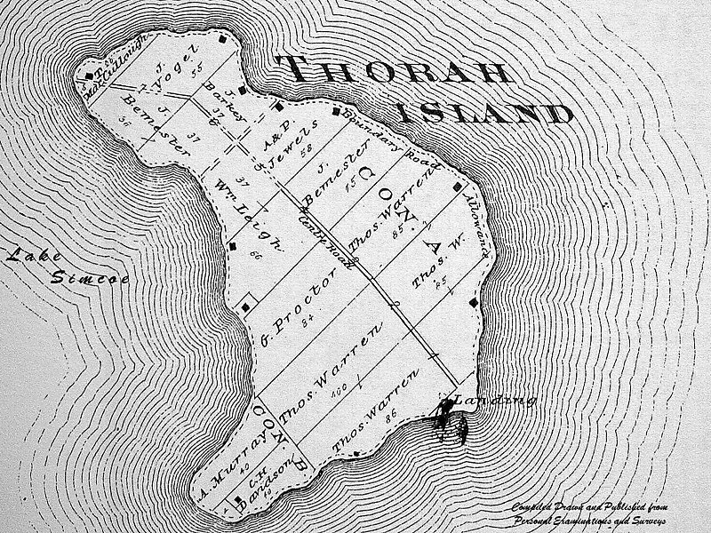
Thorah Island is a lake island located in the southeast portion of Lake Simcoe, approximately 4 kilometres west from Beaverton in Ontario, Canada. The island, part of Brock Township, is approximately 1,450 acres in size and the land is divided mainly between wooded and wooded-swamp terrain. Some land has been cleared for farming and recreational purposes but much of the agricultural land has fallen into disuse and has grown over. Centre Road runs from the east side of the island to the west side but is not much more than a dirt path. A small harbour exists on the east side of the island, directly across from Beaverton Harbour. There are several sandy beaches on the west side of the island, but most of the island's shore is rocky.
Thorah as well as three other islands in Lake Simcoe were ceded by the Chippewa Indians in 1856 to the British Crown on the agreement that the land would be sold and the proceeds invested for the descendants of the ceding chiefs.
Wikipedia https://en.wikipedia.org/wiki/Thorah_Island
Coordinates 44°26'49.915" N -79°13'44.847" E
