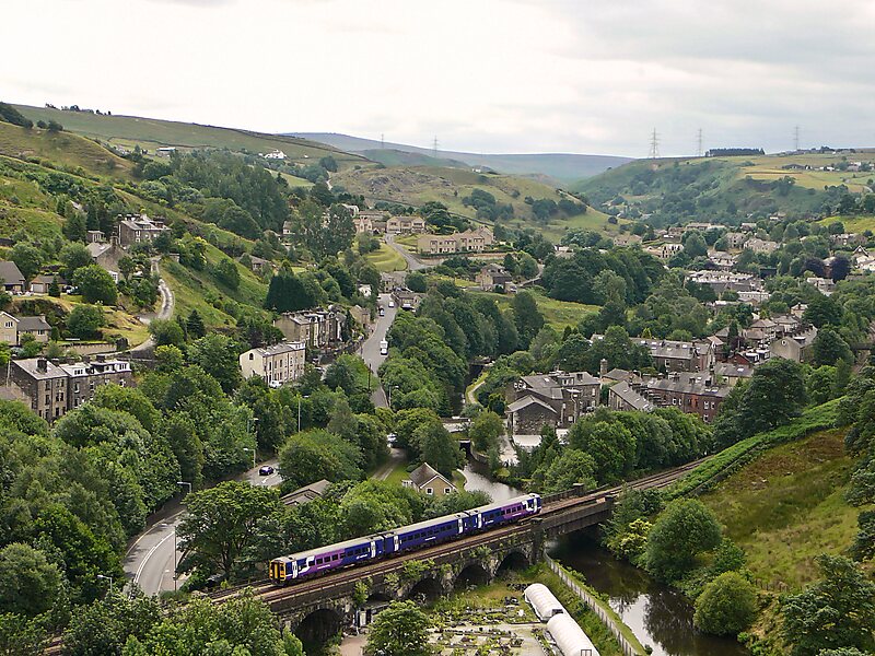
Todmorden is a market town and civil parish in the Upper Calder Valley in Calderdale, West Yorkshire, England. It is 17 miles north-east of Manchester, 8 miles south-east of Burnley and 9 miles west of Halifax. In 2011 it had a population of 15,481.Todmorden is at the confluence of three steep-sided Pennine valleys and is surrounded by moorlands with outcrops of sandblasted gritstone.
The historic boundary between Yorkshire and Lancashire is the River Calder and its tributary, Walsden Water, which run through the town. The administrative border was altered by the Local Government Act 1888 placing the whole of the town within the West Riding.
Wikipedia https://en.wikipedia.org/wiki/Todmorden
Coordinates 53°42'49.41" N -2°5'51.911" E
