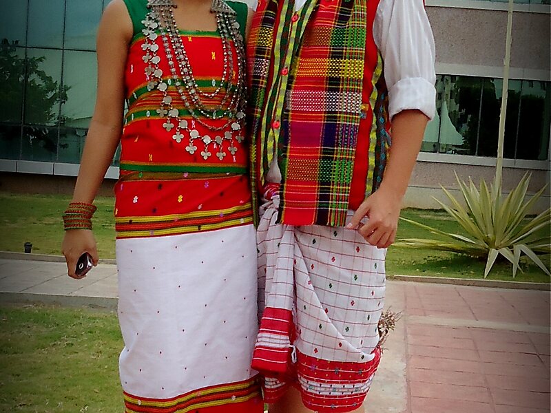
Tripura is a state in Northeast India. The third-smallest state in the country, it covers 10,491 km2; and the seventh-least populous state with a population of 36.71 lakh. It is bordered by Assam and Mizoram to the east and by Bangladesh to the north, south and west. Tripura is divided into 8 districts and 23 sub-divisions, where Agartala is the capital and the largest city in the state. Tripura has 19 different tribal communities with a majority Bengali population. Bengali, English and Kokborok are the state's official languages.The area of modern Tripura — ruled for several centuries by the Manikya Dynasty — was part of the Tripuri Kingdom. It became a princely state under the British Raj during its tenure, and acceded to independent India in 1947. It merged with India in 1949 and was designated as a 'Part C State'. It became a full-fledged state of India in 1972.
Download Download See moreWikipedia https://en.wikipedia.org/wiki/Tripura
Coordinates 23°49'52.455" N 91°16'56.575" E