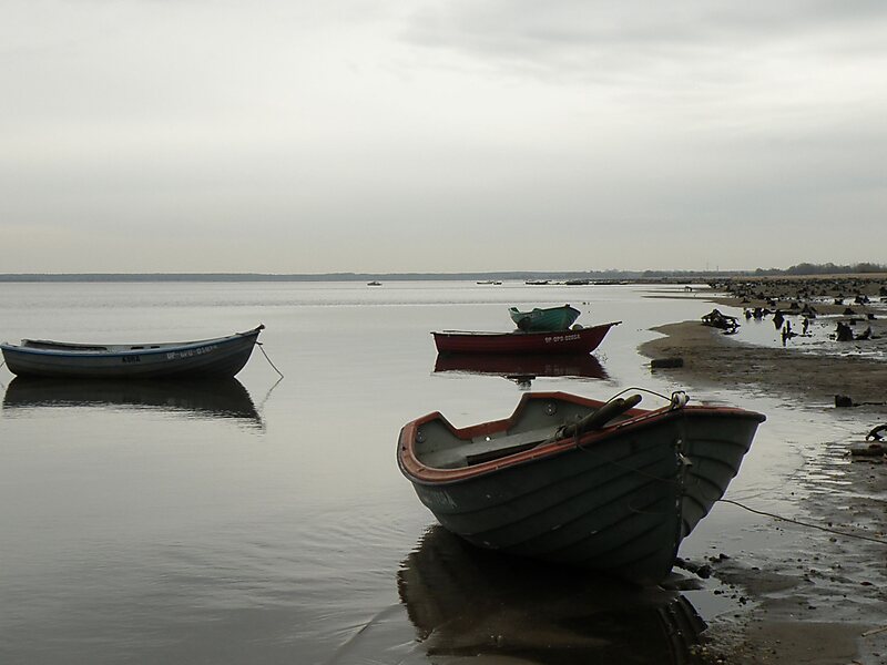
Turawskie Lake is a retention reservoir in the flow of the river Mała Panew with an area of 24 km², with a 13 metres high dam, with a maximum depth of 13 metres and a maximum full capacity of 108 mln m³.The reservoir was built between the years 1933 to 1939 with the name Turawa Stausee, to regulate the height of the water in the river Oder and for recreational purposes. Due to this the settlements of Zamoście, Krzyślina, the hamlet of Łuk, Pustków and Szczedrzyk were destroyed and new villages were built around the reservoir to serve for tourist purposes; the hamlet Szczedrzyk had been rebuilt around the South of the reservoir with the road Opolska connecting and circulating around the reservoir.
Download Download See moreWikipedia https://en.wikipedia.org/wiki/Turawskie_Lake
Address 46-045, Poland
Coordinates 50°43'42.892" N 18°5'13.233" E