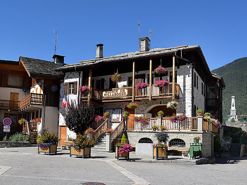
Villaroger is a commune in the Savoie department in the Auvergne-Rhône-Alpes region in south-eastern France. It is situated in the upper Tarentaise Valley, between Bourg-Saint-Maurice and Tignes.
The commune of Villaroger extends from 850m at the river Isère up to 3779m at the Mont Pourri. Villaroger is made up of several hamlets, the main village being at 1075m. The name Villaroger comes from “Villarium Ogerii” which indicates the existence of a villa during the Middle Ages, which belonged to a certain Oger or Ogier, a family name particularly common among the French during the 5th and the 6th centuries.
Wikipedia https://en.wikipedia.org/wiki/Villaroger
Coordinates 45°35'29.102" N 6°52'28" E