Waitemata Harbour
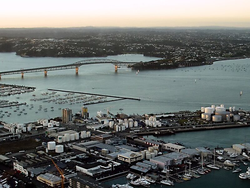
Waitematā Harbour is the main access by sea to Auckland, New Zealand. For this reason it is often referred to as Auckland Harbour, despite… Read more…


Add Waitemata Harbour to Your Trip
Create a detailed travel itinerary with smart routing, time estimates, and everything you need for a perfect trip.


Waitematā Harbour is the main access by sea to Auckland, New Zealand. For this reason it is often referred to as Auckland Harbour, despite the fact that it is one of two harbours adjoining the city. The harbour forms the northern and eastern coasts of the Auckland isthmus and is crossed by the Auckland Harbour Bridge. It is matched on the southern side of the city by the shallower waters of the Manukau Harbour.
With an area of 70 square miles, it connects the city's main port and the Auckland waterfront to the Hauraki Gulf and the Pacific Ocean. It is sheltered from Pacific storms by Auckland's North Shore, Rangitoto Island, and Waiheke Island.
Source: Wikipedia
More Information and Contact
Add Waitemata Harbour to Your Trip
Create a detailed travel itinerary with smart routing, time estimates, and everything you need for a perfect trip.