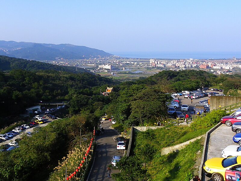
Wanli District, known in Basay as Masu, is a rural district on the rocky seacoast in northeastern New Taipei City in northern Taiwan. Wanli is a popular tourist destination and the site of the Cape Yeliu Miocene Formation which features distinctive hoodoo outcrops. The "Queen's Head" outcrop is a Taiwanese icon and serves as an informal trademark for the township. Kataw in the adjacent Jinshan District features the Wanli Taiwanese hot springs area, which is connected with the Jinshan Hot Springs.
Download Download See moreWikipedia https://en.wikipedia.org/wiki/Wanli_District,_New_Taipei
Coordinates 25°10'52.442" N 121°41'19.273" E