Watlington is a civil parish and electoral ward in the English county of Norfolk.
It covers an area of 6.93 km2 and had a population of 2,031 in 852 households at the 2001 census, the population increasing to 2,455 at the 2011 Census.
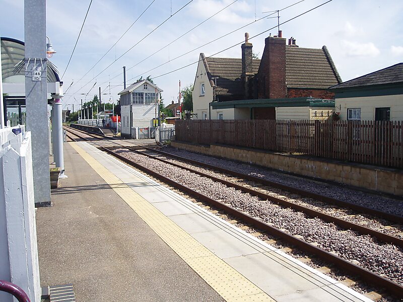
For the purposes of local government, it falls within the district of King's Lynn and West Norfolk.The villages name means 'farm/settlement of Hwaetel's/Wacol's people' or perhaps, 'farm/settlement at Wateling'.It is situated some 1.2 mi from the east bank of the River Great Ouse, 7.5 mi south of the town of King's Lynn and 37 mi west of the city of Norwich.The village is directly served by Watlington railway station which is situated 0.62 mi from the centre of the village. Amenities in the village include a public house, Post Office and medical centre with pharmacy. There is also a sports and social club, village hall and church to the north east of the village.
Wikipedia https://en.wikipedia.org/wiki/Watlington,_Norfolk
Coordinates 52°40'17.531" N 0°23'32.094" E