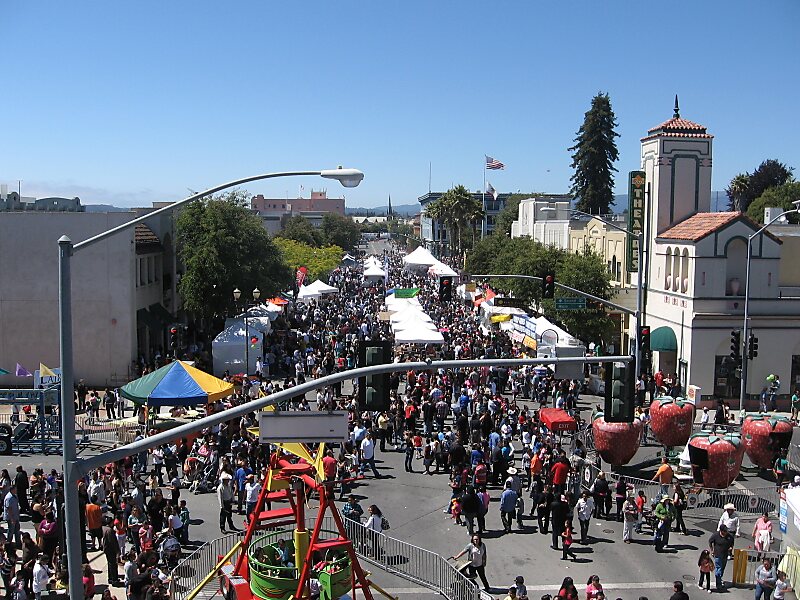
Watsonville is a city in Santa Cruz County, California, United States. The population was 51,199 according to the 2010 census.
Located on the central coast of California, the economy centers predominantly around farming and food processing. It is known for growing strawberries, apples, lettuce and a host of other vegetables. Watsonville is home to people of varied ethnic backgrounds. There is a large Hispanic population, as well as groups of Croatians, Filipinos, Portuguese, Sikhs, and Japanese who live and work in the city.
The Pajaro Valley, where Watsonville is located, has a climate that is around 60 to 70 degrees Fahrenheit throughout much of the year. This climate makes Watsonville an attractive coastal environment for the neighboring inland communities with very hot summers.
Wikipedia https://en.wikipedia.org/wiki/Watsonville,_California
Coordinates 36°53'11.098" N -121°47'10.417" E