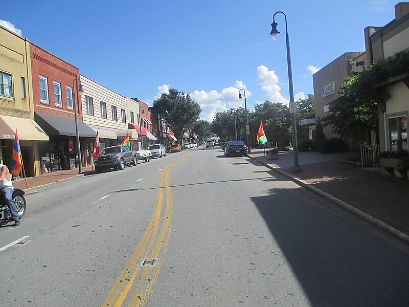
Waynesville is a town in and the county seat of Haywood County, North Carolina, United States. It is the largest town in Haywood County and the largest in western North Carolina west of Asheville. Waynesville is located about 30 miles southwest of Asheville between the Great Smoky and Blue Ridge mountains.
As of the 2010 census, Waynesville had a population of 9,869. The town is located just outside the Pisgah National Forest and is close to the Great Smoky Mountains National Park and the Blue Ridge Parkway. Waynesville and Haywood County are part of the four-county Asheville Metropolitan Statistical Area, currently the fifth largest metropolitan area in North Carolina. It is the third largest town in the MSA behind the cities of Asheville and Hendersonville.
Wikipedia https://en.wikipedia.org/wiki/Waynesville,_North_Carolina
Coordinates 35°29'19.491" N -82°59'19.941" E