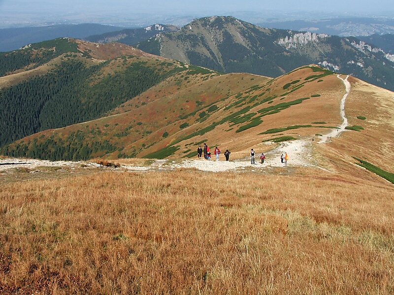
The Tatra Mountains, Tatras, or Tatra, is a mountain range that forms a natural border between Slovakia and Poland. They are the highest mountain range in the Carpathian Mountains. The Tatras are distinct from the Low Tatras, a separate Slovak mountain range further south.
The Tatra Mountains occupy an area of 785 square kilometres, of which about 610 square kilometres lie within Slovakia and about 175 square kilometres within Poland. The highest peak, called Gerlach, at 2,655 m, is located north of Poprad, entirely in Slovakia. The highest point in Poland, Rysy, at 2,499 m, is located south of Zakopane, on the border with Slovakia.The Tatras' length, measured from the eastern foothills of the Kobylí vrch to the southwestern foot of Ostrý vrch, in a straight line, is 57 km, and strictly along the main ridge, 80 km. The range is only 19 km wide. The main ridge of the Tatras runs from the village of Huty at the western end to the village of Ždiar at the eastern end.
Wikipedia https://en.wikipedia.org/wiki/Tatra_Mountains
Coordinates 49°11'53.186" N 19°56'57.432" E
