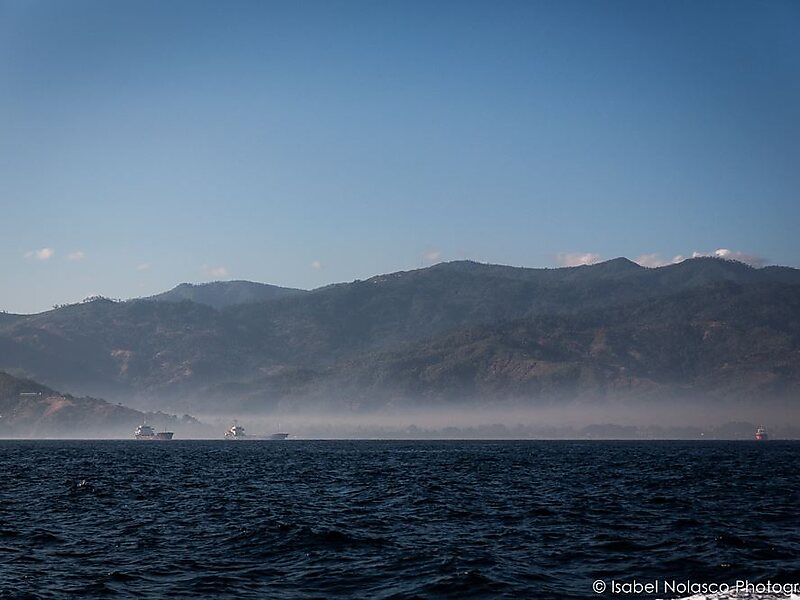
The Wetar Strait separates the eastern part of the island of Timor from the island of Wetar. It thus lies between the nations of Indonesia to the north and East Timor to the south. To the west is Atauro, and beyond it the Ombai Strait; while to the east is the southern part of the Banda Sea and the southernmost of the Maluku Islands. At its narrowest point, the strait is 36 km across.
Download Download See more
Wikipedia https://en.wikipedia.org/wiki/Wetar_Strait
Coordinates -8°9'30.329" N 126°18'28.091" E