Wichita Dwight D. Eisenhower National Airport
IATA ICT
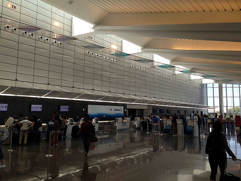
Wichita Dwight D. Eisenhower National Airport is a commercial airport 7 miles west of downtown Wichita, Kansas, United States.
airportinternational airport

Riverside Hotel

Wichita Dwight D. Eisenhower National Airport
2h

Corner Café
45 min
Riverside Hotel
Add Wichita Dwight D. Eisenhower National Airport to Your Trip
Create a detailed travel itinerary with smart routing, time estimates, and everything you need for a perfect trip.
3M+ downloads · 4.6 stars · 15 years of trip planning


More Information and Contact
Website flywichita.com
Address Wichita 67209, United States
Coordinates 37°39'4.333" N, 97°25'56.317" W
Riverside Hotel
Wichita Dwight D. Eisenhower National Airport
2h
Corner Café
45 min
Riverside Hotel
Add Wichita Dwight D. Eisenhower National Airport to Your Trip
Create a detailed travel itinerary with smart routing, time estimates, and everything you need for a perfect trip.
3M+ downloads · 4.6 stars · 15 years of trip planning