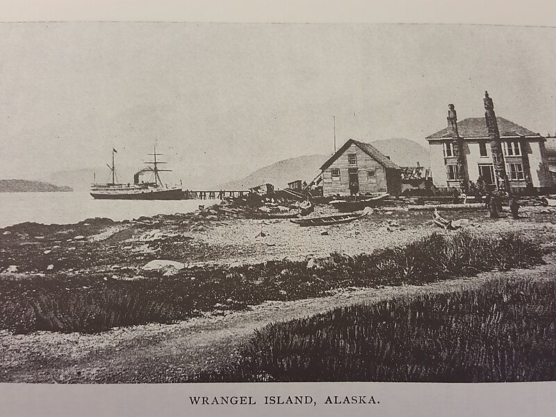
Wrangell Island is an island in the Alexander Archipelago in the Alaska Panhandle of southeastern Alaska. It is 48 kilometres long and 8 to 23 kilometres wide. It has a land area of 544.03 square kilometres, making it the 29th largest island in the United States. Wrangell is separated from the mainland by the narrow Blake Channel.
The first European to sight the island was James Johnstone, one of George Vancouver’s officers during his 1791-1795 expedition, in 1793. He only charted its east coast, not realizing it was an island. It was occupied in 1834 by the Russians. It is named after Ferdinand Wrangel, a Baltic German explorer in Russian service, and government official. From 1867 to 1877 it was a U.S. military post; later it became an outfitting point for hunters and explorers, and for miners using the Stikine River route to the Yukon.

Wikipedia https://en.wikipedia.org/wiki/Wrangell_Island
Coordinates 56°17'25.419" N -132°10'29.852" E