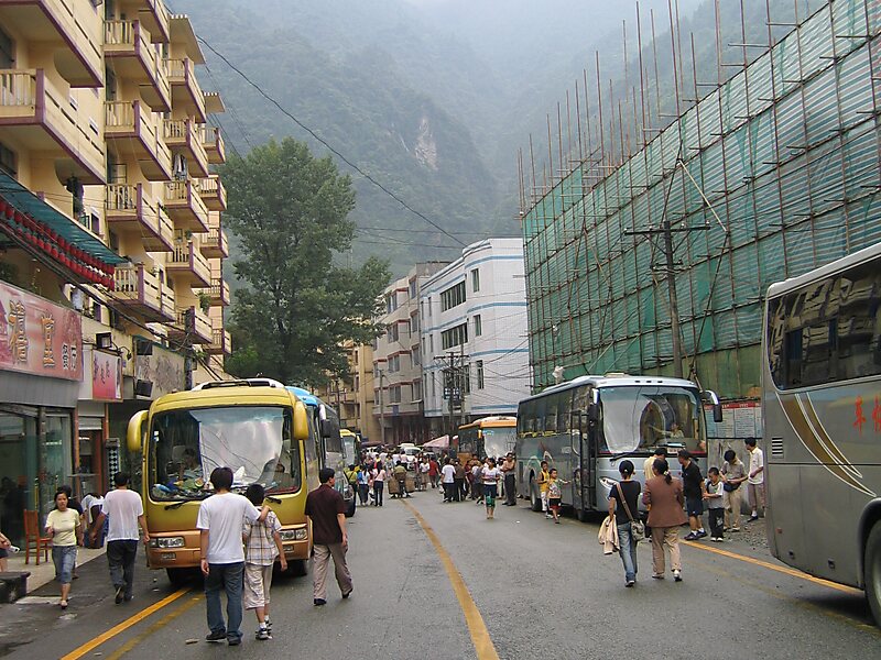
Yingxiu is a town of southern Wenchuan County, in northwestern Sichuan Province. It is located at the southern end of the Ngawa Tibetan and Qiang Autonomous Prefecture, and lies on the road to Jiuzhaigou Valley, Wolong and the Siguniang Mountains. It is located 47 kilometres south of the county urban centre, and just 14 kilometres west of the city of Dujiangyan.
The town has an area of 397.74 square kilometres, and a population of 5,829 people as of 2021. The town's average elevation is approximately 900 metres above sea level.It is at the epicentre and one of the worst hit areas of the 2008 Sichuan earthquake. 80% of the town was destroyed and 5,462 people died. The collapsed Xuankou Middle School became one of the most memorable images of the disaster, and is now part of a memorial site.Benevolence Square, a monument built by the Chinese government at the epicentre of the earthquake, contains…
Wikipedia https://en.wikipedia.org/wiki/Yingxiu
Coordinates 31°3'35.392" N 103°29'15.011" E