



Lake Tekapo
Lake Tekapo is the second-largest of three roughly parallel lakes running north–south along the northern edge of the Mackenzie Basin in the… Tovább…
Jegyek


Lake Tekapo – Utazást tervezel?
Állítsd össze a napi útvonalad a Tripomatic alkalmazásban.


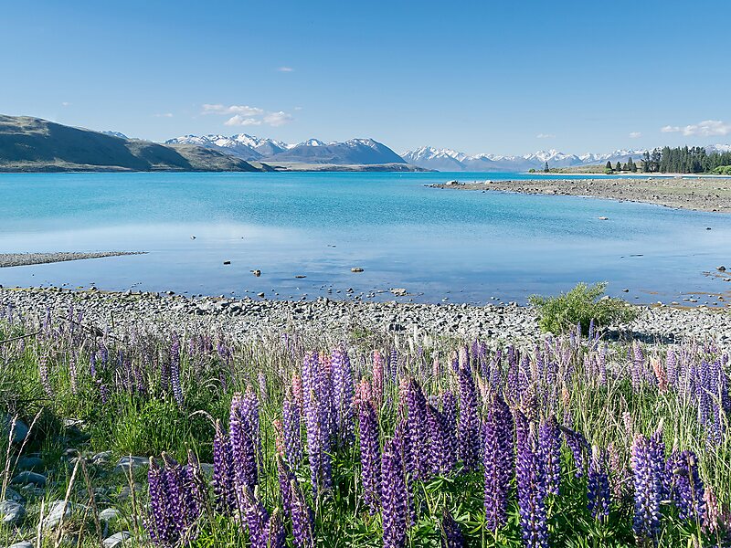
Lake Tekapo is the second-largest of three roughly parallel lakes running north–south along the northern edge of the Mackenzie Basin in the South Island of New Zealand. It covers an area of 83 square kilometres, and is at an altitude of 710 metres above sea level.
The lake is fed at its northern end by both the braided Godley River and Macauley river, which have their sources in the Southern Alps to the north. The snow melt from the Southern Alps is tinged with a light turquoise colour from the glacial silt. This gives Lake Tekapo its distinctive colour. To the east of Lake Tekapo lies the Two Thumb Range with Mount Toby; Braun Elwert Peak; Dobson Peak and Mount Maude amongst the mountains over looking Lake Tekapo. On the western side of Lake Tekapo. Mount John is closest to the town with Lake Alexandrina further north and Mistake Peak sitting towards the head of the lake. Cowans Hill lies at the southern end of Lake Tekapo behind the township and next to the Tekapo river.
Source: Wikipedia
További információk és kapcsolat
Túrák és tevékenységek


Lake Tekapo – Hozzáadás az utazáshoz
Készíts részletes útvonalat okos útvonaltervezéssel, időbecslésekkel és mindennel, ami a tökéletes utazáshoz szükséges.



