



Komagatake
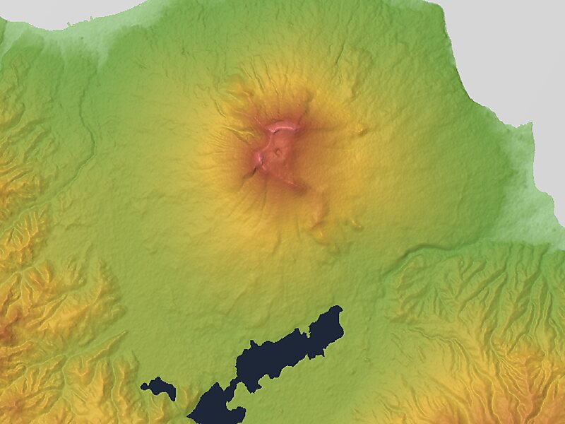
Hokkaidō Koma-ga-take, also Oshima Koma-ga-take, Oshima Fuji, or just Koma-ga-take is a 1,131 metres andesitic stratovolcano on the border… Lees meer…


Komagatake – Reis plannen?
Stel je dagelijkse reisroute samen in de Tripomatic-app.


Hokkaidō Koma-ga-take, also Oshima Koma-ga-take, Oshima Fuji, or just Koma-ga-take is a 1,131 metres andesitic stratovolcano on the border between Mori, Shikabe, and Nanae, all within the Oshima Subprefecture of Hokkaidō, Japan.
Occurrence of volcanic activity started some 30,000 years ago. Following roughly 5,000 years of dormancy, volcanic activity at Mount Koma-ga-take restarted in 1640, triggering the Kan'ei Great Famine. Since then, there have been at least 50 recorded volcanic events at Mount Koma-ga-take.
Source: Wikipedia
Meer informatie en contact


Komagatake – Voeg toe aan je reis
Maak een gedetailleerde reisroute met slimme routes, tijdsinschattingen en alles wat je nodig hebt voor een perfecte reis.



