
Riverside Hotel

伊利沙伯皇后道
2h

Corner Café
45 min
Riverside Hotel


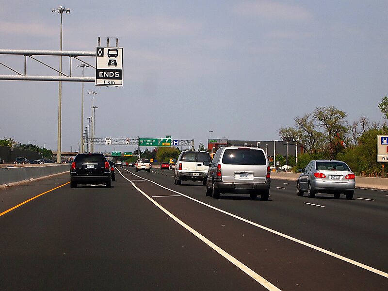
伊丽莎白王后道 是加拿大安大略省南部一条400系列高速公路,连接该省首府多伦多和位于尼亚加拉半岛东南角的伊利堡,并在该处驳上和平桥横跨尼亚加拉河,与对岸美国水牛城的190号州际公路相连。公路全长139千米,从伊利堡起途经尼亚加拉瀑布城、圣凯瑟琳斯、哈密尔顿、伯灵顿、奥克维尔和密西沙加等城镇,在多伦多的终点处与427号公路和嘉甸拿高速公路交汇,当中在荷顿区内约长22千米 的路段则与403号公路共构。
此公路是以王后伊丽莎白王太后 命名。有别于其他安省省道的白底黑字路标,QEW的路标是采用黄底蓝字设计。路标起初以较大的字体显示“ER”两个字母 ,而公路的全名则以较小的字体显示。这些路标于1955年起被替换,新的路标显示“QEW”三个字母,而这个款式的路标则沿用至今。
Source: Wikipedia
更多信息与联系方式
坐标 43°29'40.943" N, 79°40'24.027" W
Riverside Hotel
伊利沙伯皇后道
2h
Corner Café
45 min
Riverside Hotel