



National Park
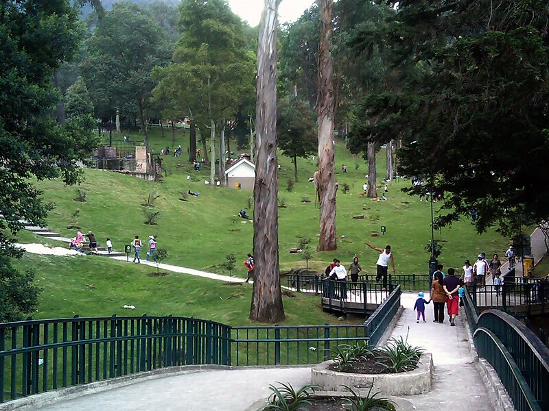
The Enrique Olaya Herrera National Park, better known as National Park is a park located in the Eastern hills of Bogotá, in the northeast… Weiterlesen…
National Park – Planst du eine Reise?
Erstelle deine Reiseroute Tag für Tag in der Tripomatic-App.


The Enrique Olaya Herrera National Park, better known as National Park is a park located in the Eastern hills of Bogotá, in the northeast of the locality of Santa Fe.
The inauguration of the park took place on August 6, 1934. President Enrique Olaya Herrera attended at its inauguration and was one of its most important promoters, hence its full name includes the mention of the president. Its heritage and tradition is very rich and today forms part of the image of the city. It was declared a National Monument of Colombia on September 26, 1996.It is located at a height between 2,600 and 3,150 meters above sea level. Between the streets 36 and 39 with carreras Seventh and Fifth the park keeps its original layout, which resembles an inverted triangle with roads that connect the different monuments of the park. It has 283 hectares of extension. Its eastern sector is crossed by the Arzobispo River.
Source: Wikipedia
Weitere Informationen & Kontakt


National Park – Zu deiner Reise hinzufügen
Erstelle eine detaillierte Reiseroute mit intelligenter Routenführung, Zeitschätzungen und allem, was du für eine perfekte Reise brauchst.



