Bobenthaler Knopf
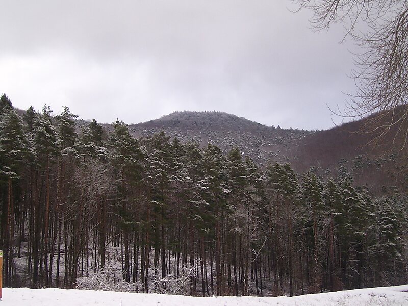
The Bobenthaler Knopf is a hill, 534 m above sea level, in the southeastern Wasgau, the name given to the region covering the southern part… Read more…


Add Bobenthaler Knopf to Your Trip
Create a detailed travel itinerary with smart routing, time estimates, and everything you need for a perfect trip.


The Bobenthaler Knopf is a hill, 534 m above sea level, in the southeastern Wasgau, the name given to the region covering the southern part of the Palatine Forest in Germany and the northern part of the Vosges in France.
The hill is located entirely within the territory of the municipality of Bobenthal, from which it derives its name. It lies about 2 kilometres east of the main settlement. In the west it descends relatively gently to the valley of the Wieslauter stream; in the east it drops considerably more steeply into the valley of the Reisbach. The Bobenthaler Kopf is covered by mixed woods. A footpath leads to the summit from the south. It forms the centre of the 319 hectares Bobenthaler Knopf Core Zone in the Palatine Forest Nature Park. About 1.5 kilometres to the south lie the Rittersteins of Löffelkreuz and Eselsschleifhäuschen.
Source: Wikipedia
More Information and Contact
Add Bobenthaler Knopf to Your Trip
Create a detailed travel itinerary with smart routing, time estimates, and everything you need for a perfect trip.