Weißenberg
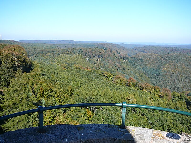
The Weißenberg in the Palatine Forest is a hill in the municipality of Merzalben.
peak

Riverside Hotel

Weißenberg
2h

Corner Café
45 min
Riverside Hotel
Add Weißenberg to Your Trip
Create a detailed travel itinerary with smart routing, time estimates, and everything you need for a perfect trip.
3M+ downloads · 4.6 stars · 15 years of trip planning


More Information and Contact
Address 66978, Germany
Coordinates 49°15'18.822" N, 7°49'32.831" E
Riverside Hotel
Weißenberg
2h
Corner Café
45 min
Riverside Hotel
Add Weißenberg to Your Trip
Create a detailed travel itinerary with smart routing, time estimates, and everything you need for a perfect trip.
3M+ downloads · 4.6 stars · 15 years of trip planning