Cropsey Avenue
Cropsey Avenue is a major street in Brooklyn, New York City. It generally runs northwest-southeast, from Poly Place/14th Avenue in Bath… Read more…


Add Cropsey Avenue to Your Trip
Create a detailed travel itinerary with smart routing, time estimates, and everything you need for a perfect trip.


Cropsey Avenue
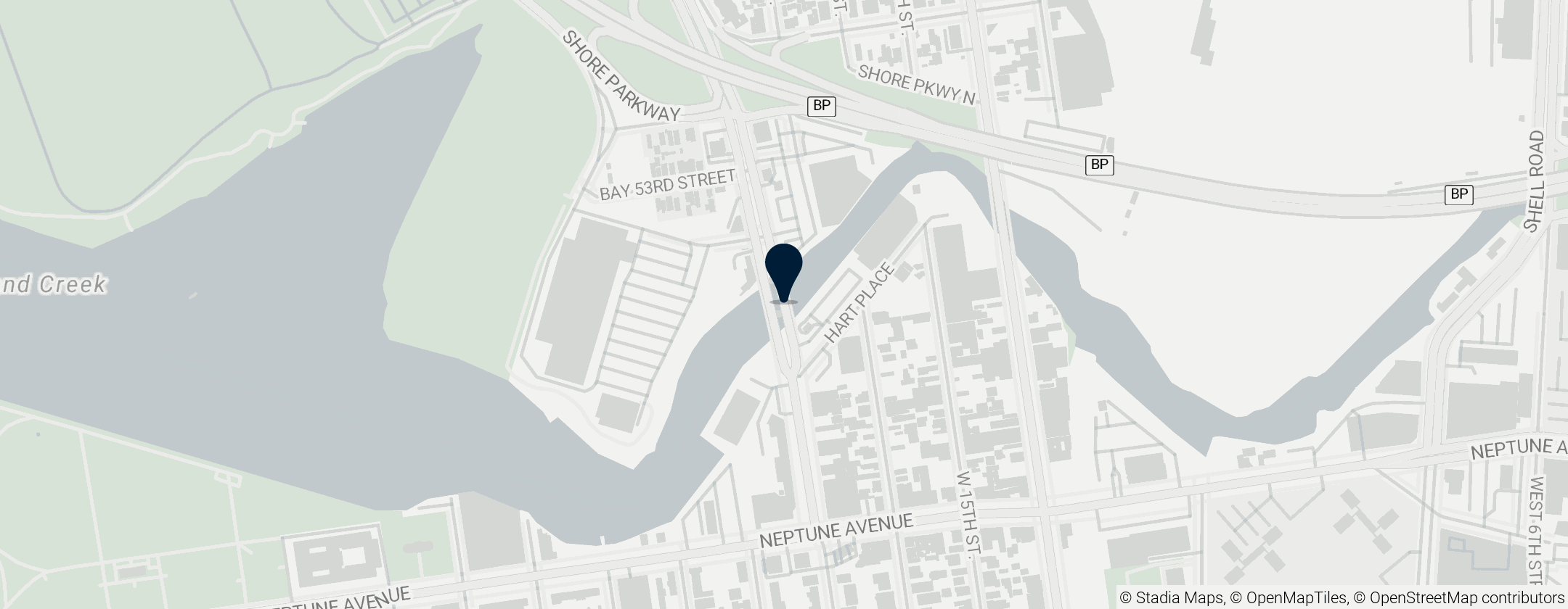
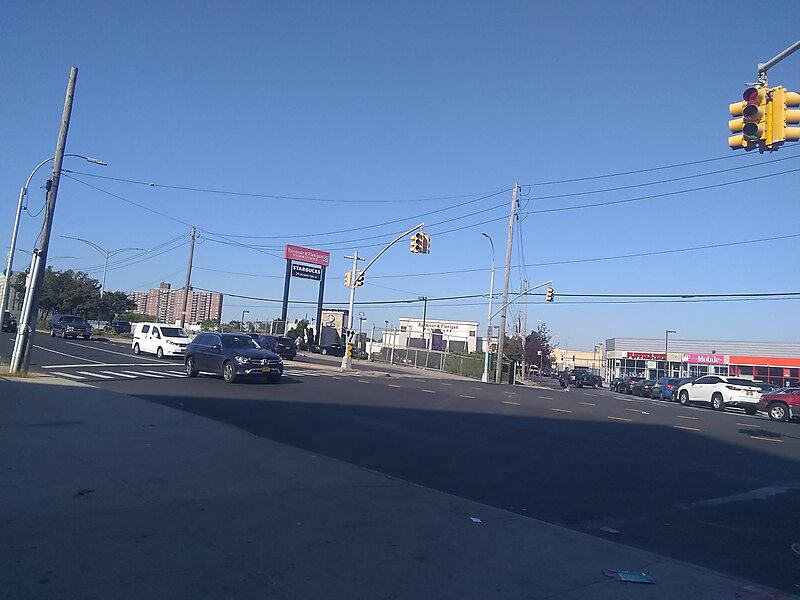
Cropsey Avenue is a major street in Brooklyn, New York City. It generally runs northwest-southeast, from Poly Place/14th Avenue in Bath Beach to Neptune Avenue/West 17th Street in Coney Island. It forms the northeastern boundary of Dreier-Offerman Park.
Cropsey Avenue intersects the Belt Parkway at exits 6-N and 6-S. South of its bridge crossing Coney Island Creek, Cropsey Avenue continues as West 17th Street at Neptune Avenue. For about half of its length, Cropsey Avenue has a central median, making it a divided highway/boulevard.
The street is named for the Cropsey family, one of the first to settle in New Utrecht.
Source: Wikipedia
More Information and Contact
Add Cropsey Avenue to Your Trip
Create a detailed travel itinerary with smart routing, time estimates, and everything you need for a perfect trip.