Queens Boulevard
Queens Boulevard is a major thoroughfare in the New York City borough of Queens connecting Midtown Manhattan, via the Queensboro Bridge, to… Read more…


Add Queens Boulevard to Your Trip
Create a detailed travel itinerary with smart routing, time estimates, and everything you need for a perfect trip.


Queens Boulevard
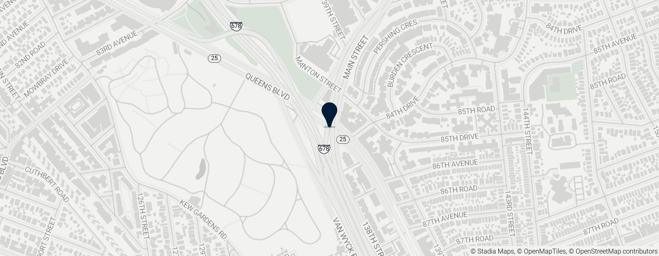
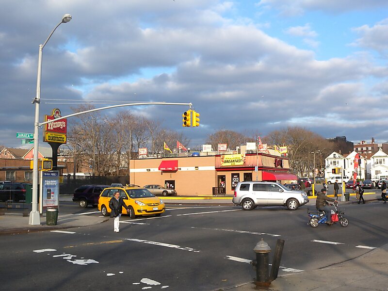
Queens Boulevard is a major thoroughfare in the New York City borough of Queens connecting Midtown Manhattan, via the Queensboro Bridge, to Jamaica. It is 7.5 miles long and forms part of New York State Route 25.
Queens Boulevard runs northwest to southeast from Queens Plaza at the Queensboro Bridge entrance in Long Island City. It runs through the neighborhoods of Sunnyside, Woodside, Elmhurst, Rego Park, Forest Hills, Kew Gardens, and Briarwood before terminating at Jamaica Avenue in Jamaica. The boulevard is 200 feet wide for much of its length, with shorter sections between 80 and 150 feet wide. Its immense width, heavy automobile traffic, and thriving commercial scene has historically made it one of the most dangerous thoroughfares in New York City, with pedestrian crossings up to 300 feet long at some places.
Source: Wikipedia
More Information and Contact
Add Queens Boulevard to Your Trip
Create a detailed travel itinerary with smart routing, time estimates, and everything you need for a perfect trip.