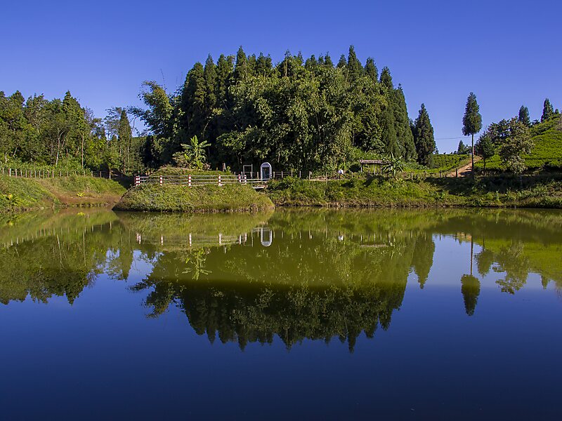
Ilam is one of four urban municipalities of Ilam District, which lies in the Mahabharata hilly range of Province No. 1, eastern Nepal. Ilam also acts as the headquarters of Ilam District. Being the largest producer region for Nepali tea, its tea farms comprise a major tourist attraction in Province No. 1. Ilam is also famous for its natural scenery and landscapes as well as its diverse agricultural economy which specializes in horticultural crop production.
The total area of the municipality is 173.32 square kilometres and the total population is 48,536 as per the 2011 Nepal census. The municipality is divided into 12 wards. The 74 kilometer section of Mechi highway connects Ilam with the east–west highway and subsequently, with the provincial capital of Biratnagar.
Wikipedia https://en.wikipedia.org/wiki/Ilam_Municipality
Coordinates 26°54'37.402" N 87°55'41.497" E