Papey is an island near the east coast of Iceland in the municipality Djúpavogshreppur and is about 2 square kilometres in extent, the highest point on the island being about 58 metres above sea level.
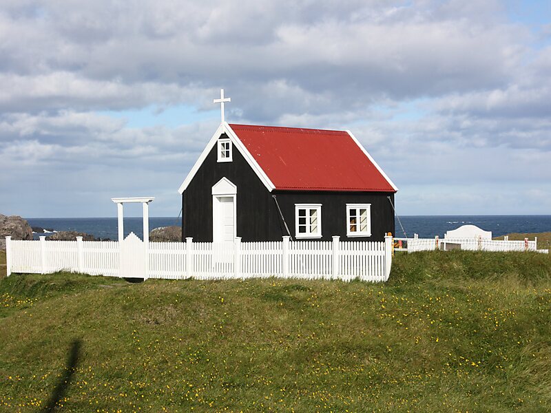
The island was inhabited from the settlement of Iceland until 1966. There still is a lighthouse, a dwelling house, a church and a weather station on the island, the latter automated since 1998. There are also large colonies of Atlantic puffins on the island.
Papey is said to be named after the monks called Papar and it is mentioned in the Landnámabók as one of two places where these monks lived. The story in Landnámabók is that as Ingólfr Arnarson and his followers had lived during the winter at Geithellar in Álftafjörður at a distance from Papey, some of his women followers climbed a…
Wikipedia https://en.wikipedia.org/wiki/Papey
Coordinates 64°35'32.013" N -14°10'4.28" E