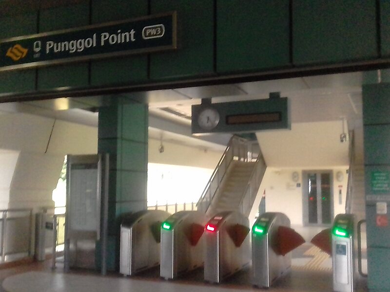
The Punggol LRT is a fully elevated automated guideway transit line in Singapore. The line, which initially opened on 29 January 2005, connects the residential districts and suburbs of Punggol to Punggol Digital District and Punggol Town Centre, which consist of Singapore Institute of Technology’s campus and JTC’s Business Park, and where the town centre connects with the North East MRT line, Punggol Bus Interchange, and Waterway Point.
The first phase is a 10.3-kilometre line with 15 stations in two loops. It is the second LRT line to be operated by SBS Transit.
Wikipedia https://en.wikipedia.org/wiki/Punggol_LRT_line
Address Punggol Way, Punggol 82, Singapore
Coordinates 1°25'0.773" N 103°54'23.867" E