Schalkenmehren: Que faire
-
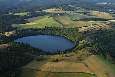
Gemündener Maar
The Gemündener Maar is the northernmost of the three Daun Maars. It lies in the immediate vicinity of the village of Gemünden and ca. 1.5 km…
-
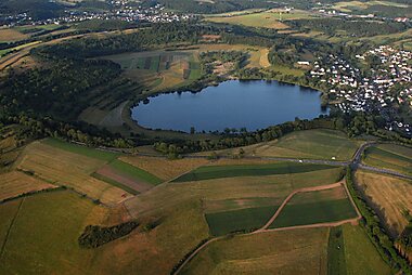
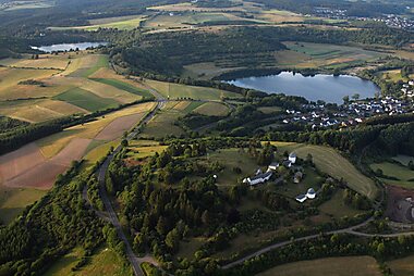
Weinfelder Maar
The Weinfelder Maar, also called the Totenmaar, is a maar around two kilometres southeast of the town of Daun in the Eifel Mountains, in…
-
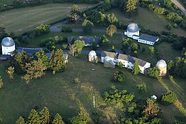
Observatoire de Hoher List
L'observatoire de Hoher List est un observatoire astronomique situé à environ 60 kilomètres au sud de Bonn, en en Allemagne, près de la…
-
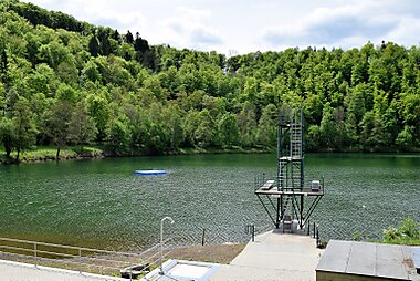
Schalkenmehrener Maar
The Schalkenmehrener Maar is a maar roughly 3 kilometres southeast of the town of Daun in the Eifel in the German state of Rhineland…
-
Hoher List Observatory
Hoher List Observatorium is an Observatory located on the Hoher List mountain about 60 km south-west of the city of Bonn, close to the town…


Planifie ton itinéraire jour par jour
Crée un itinéraire détaillé avec routage intelligent, estimations de temps et tout ce dont tu as besoin pour un voyage parfait.


Planifie ton itinéraire jour par jour
Crée un itinéraire détaillé avec routage intelligent, estimations de temps et tout ce dont tu as besoin pour un voyage parfait.