Schalkenmehren: O que fazer
-
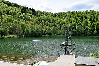
Gemündener Maar
The Gemündener Maar is the northernmost of the three Daun Maars. It lies in the immediate vicinity of the village of Gemünden and ca. 1.5 km…
-
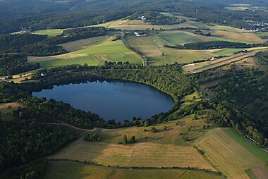
Weinfelder Maar
The Weinfelder Maar, also called the Totenmaar, is a maar around two kilometres southeast of the town of Daun in the Eifel Mountains, in…
-
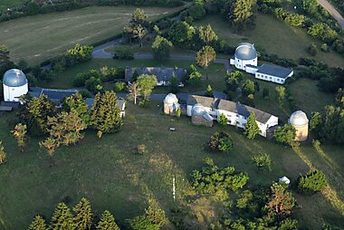
Hoher List Observatory
Hoher List Observatorium is an Observatory located on the Hoher List mountain about 60 km south-west of the city of Bonn, close to the town…
-
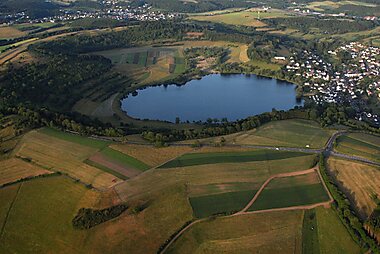
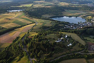
Schalkenmehrener Maar
The Schalkenmehrener Maar is a maar roughly 3 kilometres southeast of the town of Daun in the Eifel in the German state of Rhineland…
-
Hoher List Observatory
Hoher List Observatorium is an Observatory located on the Hoher List mountain about 60 km south-west of the city of Bonn, close to the town…


Planeia o Teu Itinerário Dia a Dia
Cria um itinerário de viagem detalhado com rotas inteligentes, estimativas de tempo e tudo o que precisas para uma viagem perfeita.


Planeia o Teu Itinerário Dia a Dia
Cria um itinerário de viagem detalhado com rotas inteligentes, estimativas de tempo e tudo o que precisas para uma viagem perfeita.